


Home AgricultureKratomUAV & Drone Agricultural Monitoring
UAV & Drone Agricultural Monitoring
Drone-based monitoring services for agricultural commodities, supporting aerial inspection, mapping and crop health data analysis.
Overview
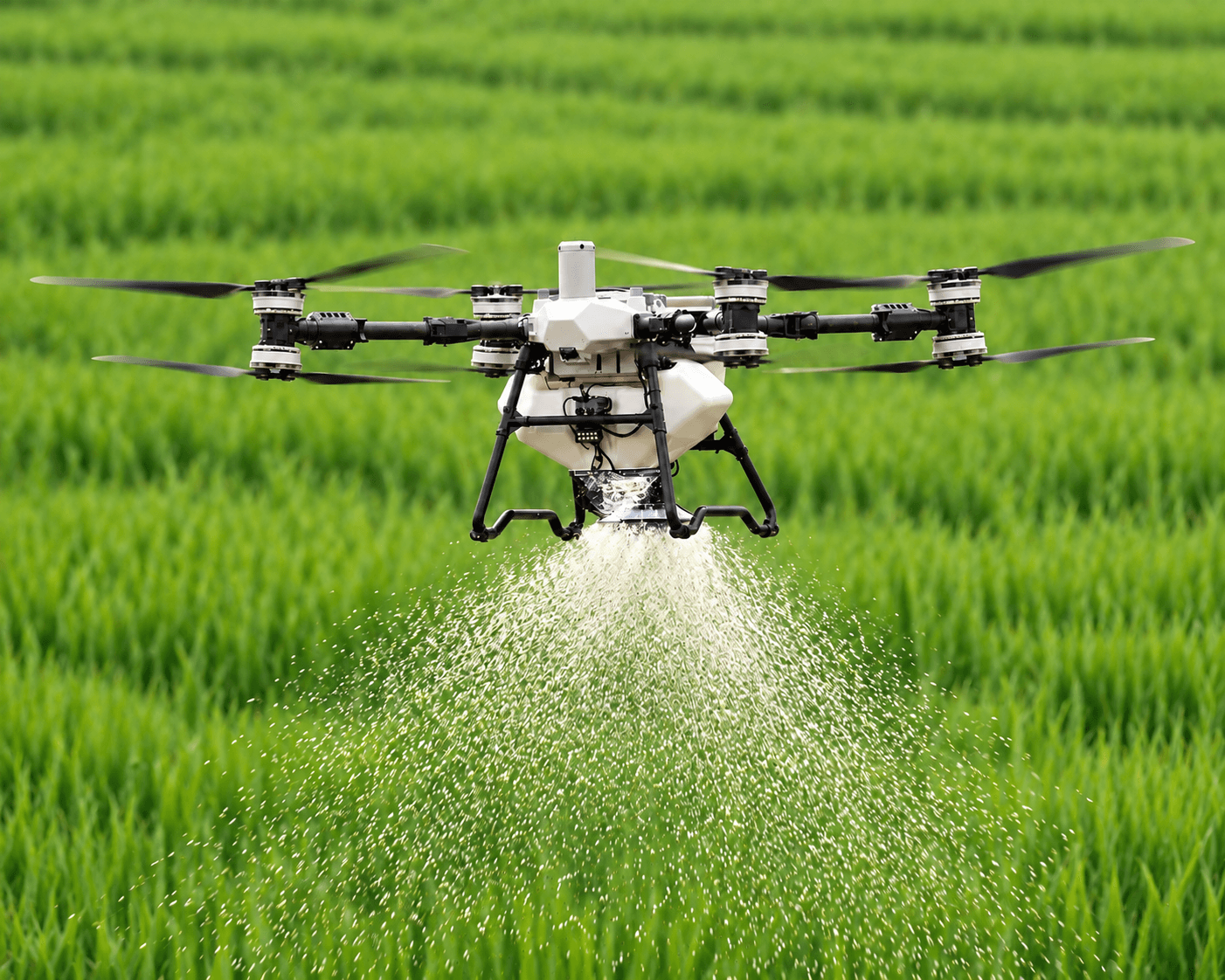
Ground-based crop and plantation monitoring is slow and cannot easily cover large agricultural areas. CARSURIN operates drones to capture aerial imagery across plantation and field areas, generating maps, health indices and monitoring data that support input planning, yield forecasting and boundary verification.
Request a serviceWhy matters

Rapid coverage
Survey large plantation or field areas faster than ground teams.

Early problem detection
Identify stressed or underperforming crop areas before yield loss.

Actionable mapping
Provide geospatial data supporting planning and input decisions.
Find expertise for your commodity
What We Assess
- 01Flight planning & mapping
- 02Aerial image capture
- 03Orthomosaic image processing
- 04Crop health index mapping
- 05Field boundary survey
- 06Tree counting & inventory
- 07Gap detection analysis
- 08Data analytics & reporting
- 09Geospatial data report
Explore related industries
Related Industries
Explore other industries connected to this service and CARSURIN's related testing, inspection, and certification capabilities.



FAQ
A physical count or measurement of stored commodity, reconciled against warehouse and inventory records to confirm actual quantity.