


Overview
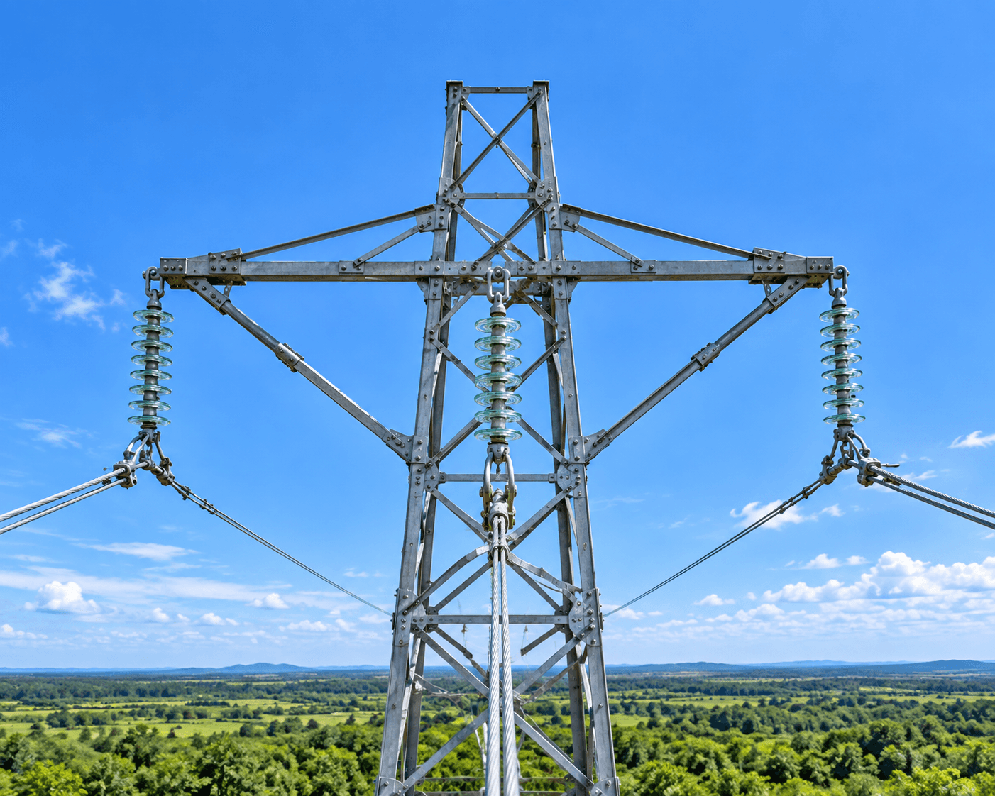
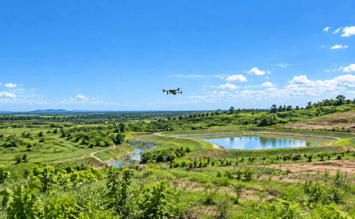
Transmission corridors cover long distances and include elevated structures that can be difficult to review from ground level. CARSURIN captures aerial imagery along the defined corridor, documents visible tower, line-route and surrounding-condition features and maps observations for maintenance or field verification.
Request a serviceWhy It Matters

Long-route coverage
Review extended transmission corridors from an aerial platform.

Tower visibility
Capture elevated structural and external component views.

Mapped follow-up
Locate observed issues for targeted field inspection or maintenance.
FIND THE RIGHT EXPERTISE
Scope of Services
- 01Corridor scope definition
- 02Flight planning
- 03Aerial route capture
- 04Tower condition review
- 05Line-route observation
- 06Vegetation review
- 07Access condition review
- 08Issue location mapping
- 09Survey reporting
Explore related industries
Related Industries
Explore industries connected to this capability and CARSURIN's related technical services.



FAQ
It can document visible corridor, tower, route and surrounding-condition features within the approved aerial survey scope.