


Overview
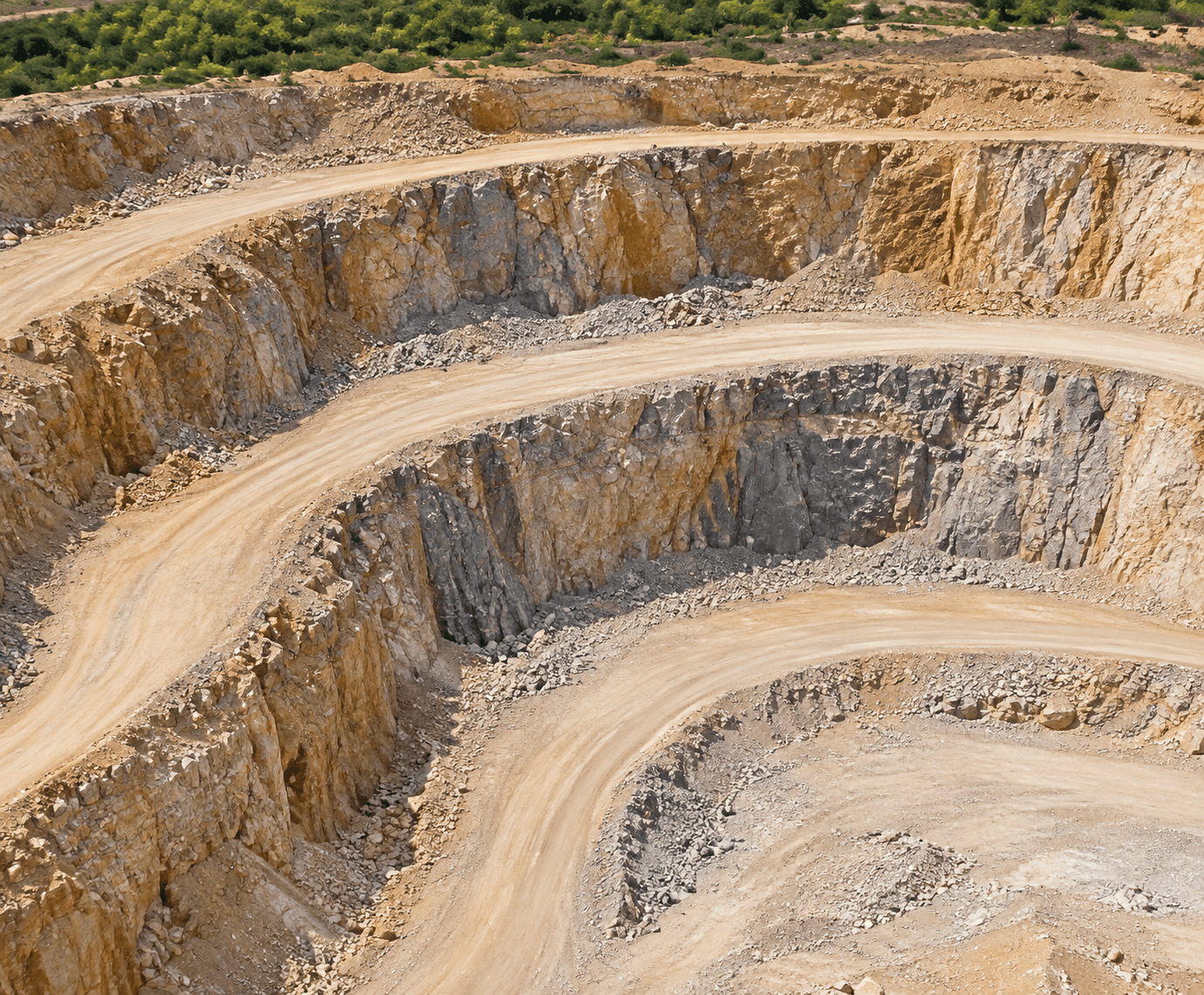
Mine planning depends on current terrain information across active and changing operational areas. CARSURIN captures aerial survey data across the defined mine area, processes mapped terrain information and prepares outputs that can support mine-plan updates, progression review and spatial decision-making.
Request a serviceWhy It Matters

Current terrain data
Capture mapped terrain information across the defined mining area.

Planning support
Provide spatial outputs that can inform mine-plan review and updates.

Progress visibility
Compare mapped site condition as mining activity changes over time.
FIND THE RIGHT EXPERTISE
Scope of Services
- 01Survey boundary review
- 02Flight planning
- 03Aerial data capture
- 04Ground reference review
- 05Terrain processing
- 06Topographic mapping
- 07Mine-plan overlay review
- 08Output quality check
- 09Map and data delivery
Explore related industries
Related Industries
Explore industries connected to this capability and CARSURIN's related technical services.



FAQ
Outputs can include processed terrain and mapped spatial information for the approved survey area, depending on the agreed deliverables.