


Overview
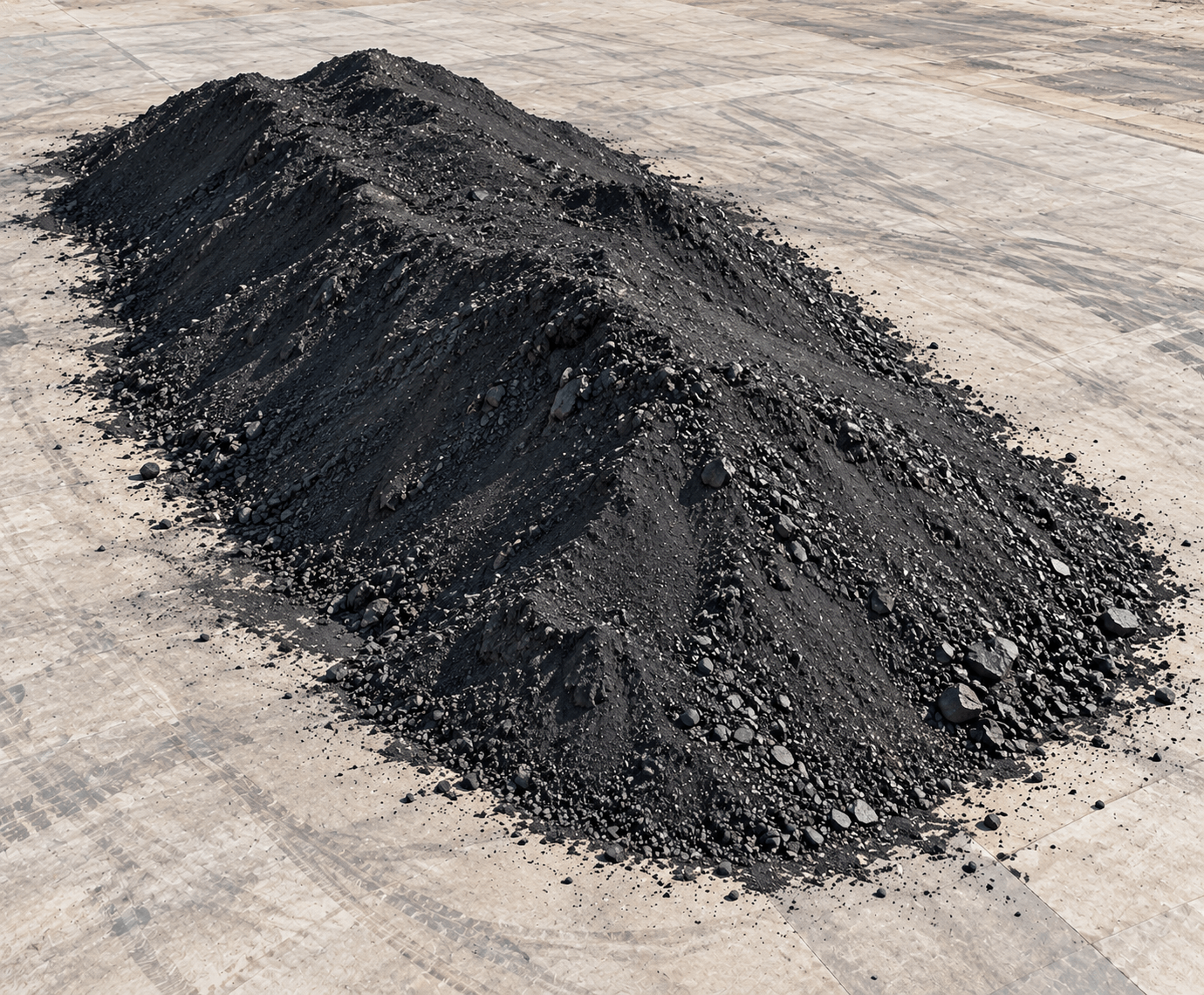
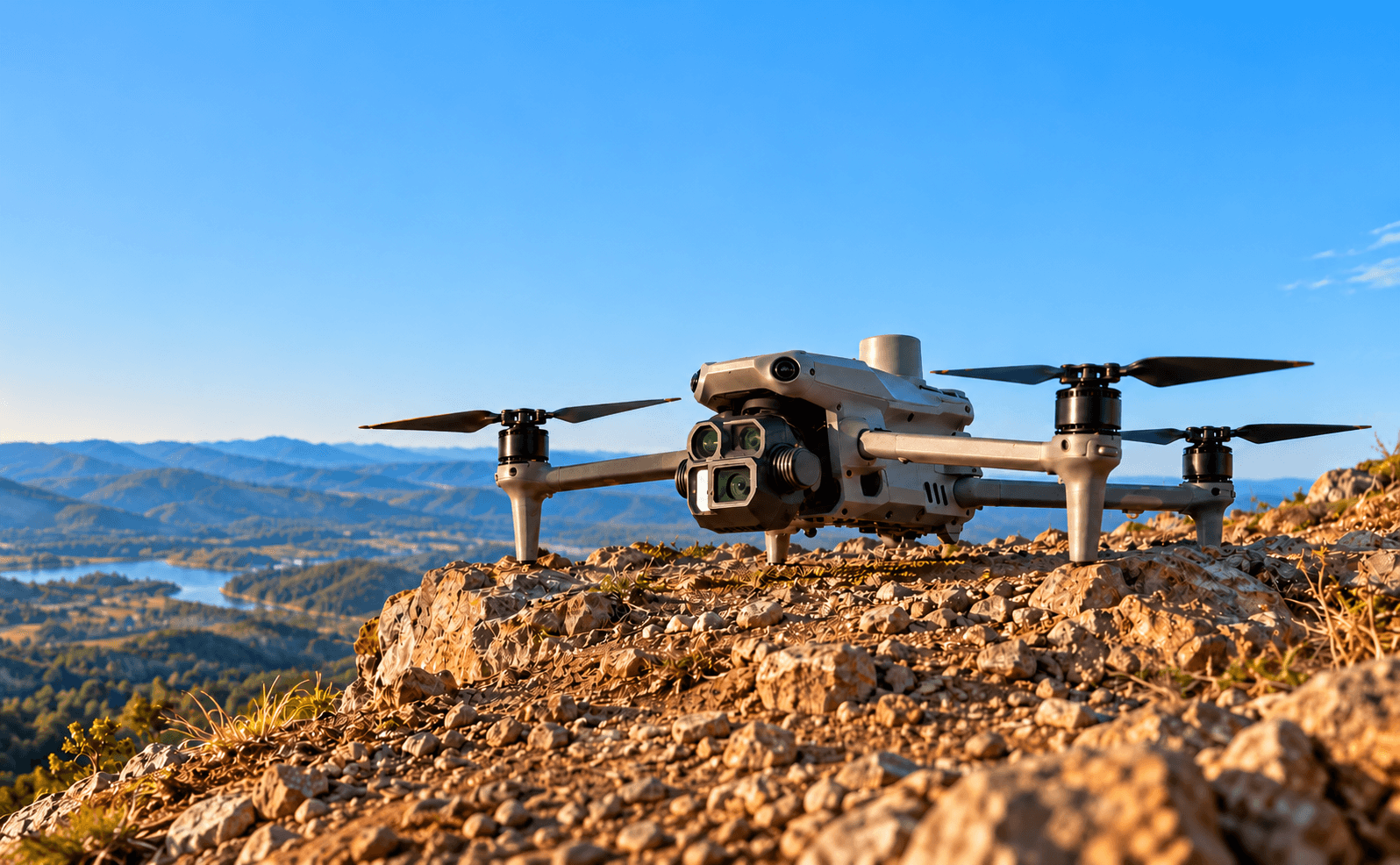
Large stockpiles can be difficult to measure efficiently from ground survey positions alone. CARSURIN captures aerial data over the stockpile and processes the survey into a measured surface or model for volume calculation. Reporting can support inventory reconciliation and repeat monitoring when required.
Request a serviceWhy It Matters

Volume visibility
Measure stockpile volume using aerial survey data across the defined survey area.

Inventory reconciliation
Compare measured stock information with operational inventory records.

Repeat monitoring
Support periodic comparison when stockpile surveys are repeated over time.
FIND THE RIGHT EXPERTISE
Scope of Services
- 01Survey-area confirmation
- 02Flight planning
- 03Aerial data capture
- 04Ground reference review
- 05Surface model processing
- 06Stockpile boundary review
- 07Volume calculation
- 08Result quality review
- 09Survey reporting
Explore related industries
Related Industries
Explore industries connected to this capability and CARSURIN's related technical services.


FAQ
It measures the defined stockpile volume from processed aerial survey data. Tonnage conversion requires an agreed density when included in scope.