


Overview
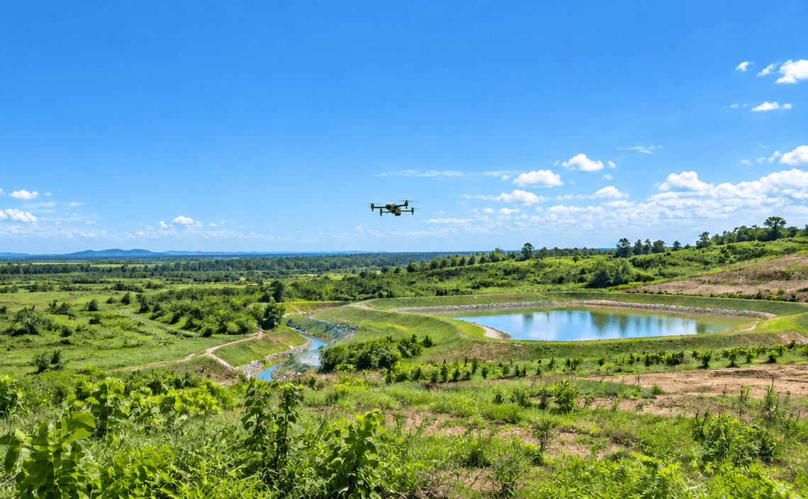
Reclamation areas can cover large sites where repeat ground inspection alone may not provide consistent spatial coverage. CARSURIN captures repeat aerial imagery over the defined reclamation area, maps visible progress and compares site condition across survey periods or against the supplied plan where required.
Request a serviceWhy It Matters

Area coverage
Review large reclamation areas with repeatable aerial imagery.

Progress visibility
Map visible change in land cover and site condition over time.

Reporting evidence
Provide spatial records that support reclamation progress reporting.
FIND THE RIGHT EXPERTISE
Scope of Services
- 01Monitoring boundary review
- 02Survey schedule review
- 03Flight planning
- 04Aerial image capture
- 05Land-cover mapping
- 06Progress comparison
- 07Plan overlay review
- 08Finding mapping
- 09Monitoring report

Explore related industries
Related Industries
Explore industries connected to this capability and CARSURIN's related technical services.



FAQ
It can show visible land-cover, surface-condition and progress changes across the defined reclamation area.