


Overview
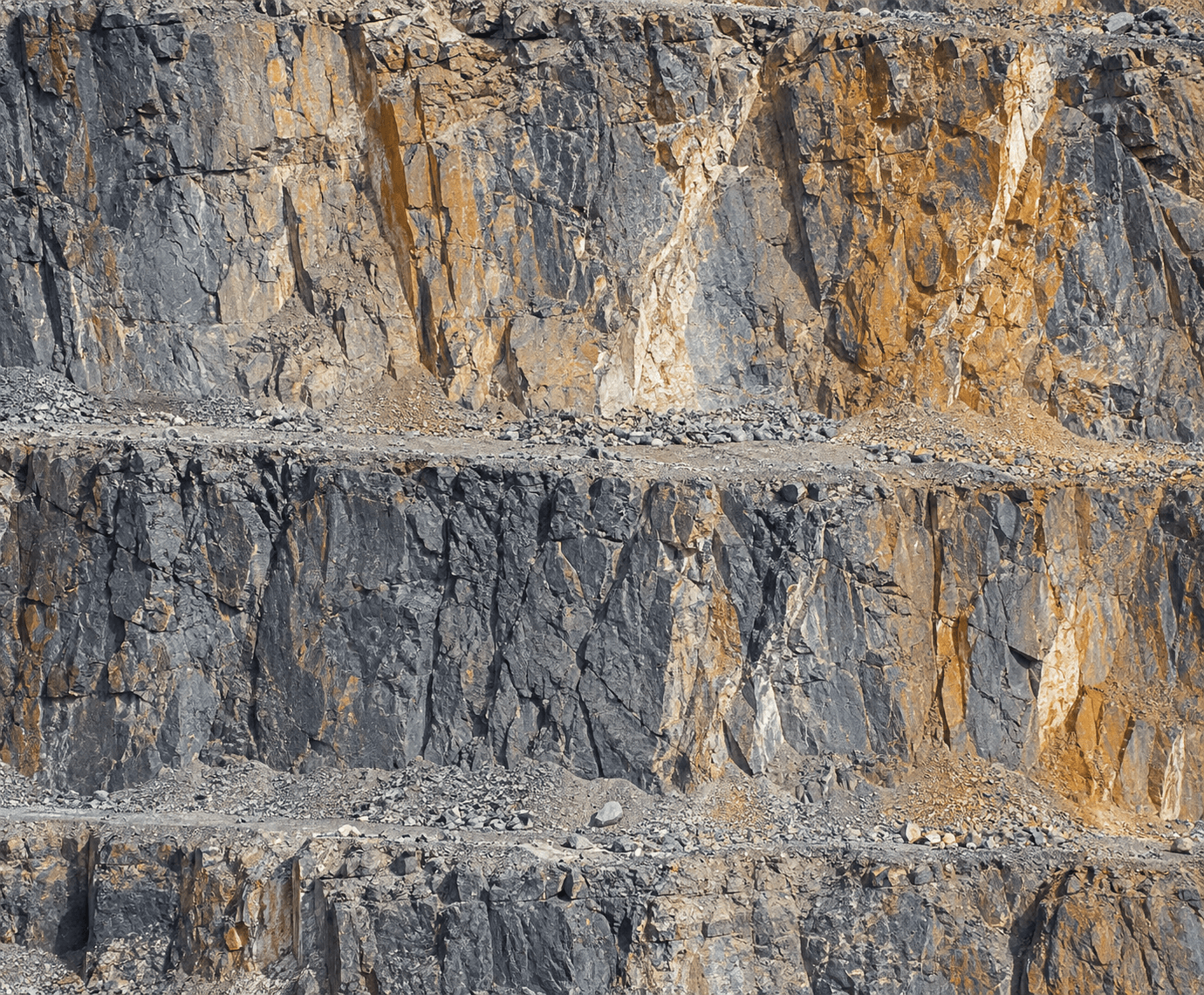
Highwalls can be difficult or hazardous to observe closely from ground positions in active mine areas. CARSURIN captures aerial imagery of the defined highwall, documents visible condition features and maps areas that may require geotechnical review. This page does not imply a full geotechnical stability calculation unless separately scoped.
Request a serviceWhy It Matters

Safer observation
Capture close aerial views without routine access to the highwall face.

Feature mapping
Locate visible cracks, erosion or other surface features for review.

Geotechnical follow-up
Provide imagery that supports targeted specialist assessment when needed.
FIND THE RIGHT EXPERTISE
Scope of Services
- 01Highwall area definition
- 02Flight planning
- 03Aerial image capture
- 04Face condition review
- 05Visible crack mapping
- 06Erosion feature review
- 07Change comparison
- 08Finding location mapping
- 09Condition reporting
Explore related industries
Related Industries
Explore industries connected to this capability and CARSURIN's related technical services.

FAQ
Not automatically. The UAV service documents aerial condition information; geotechnical calculations require a separately approved specialist scope.