


Overview
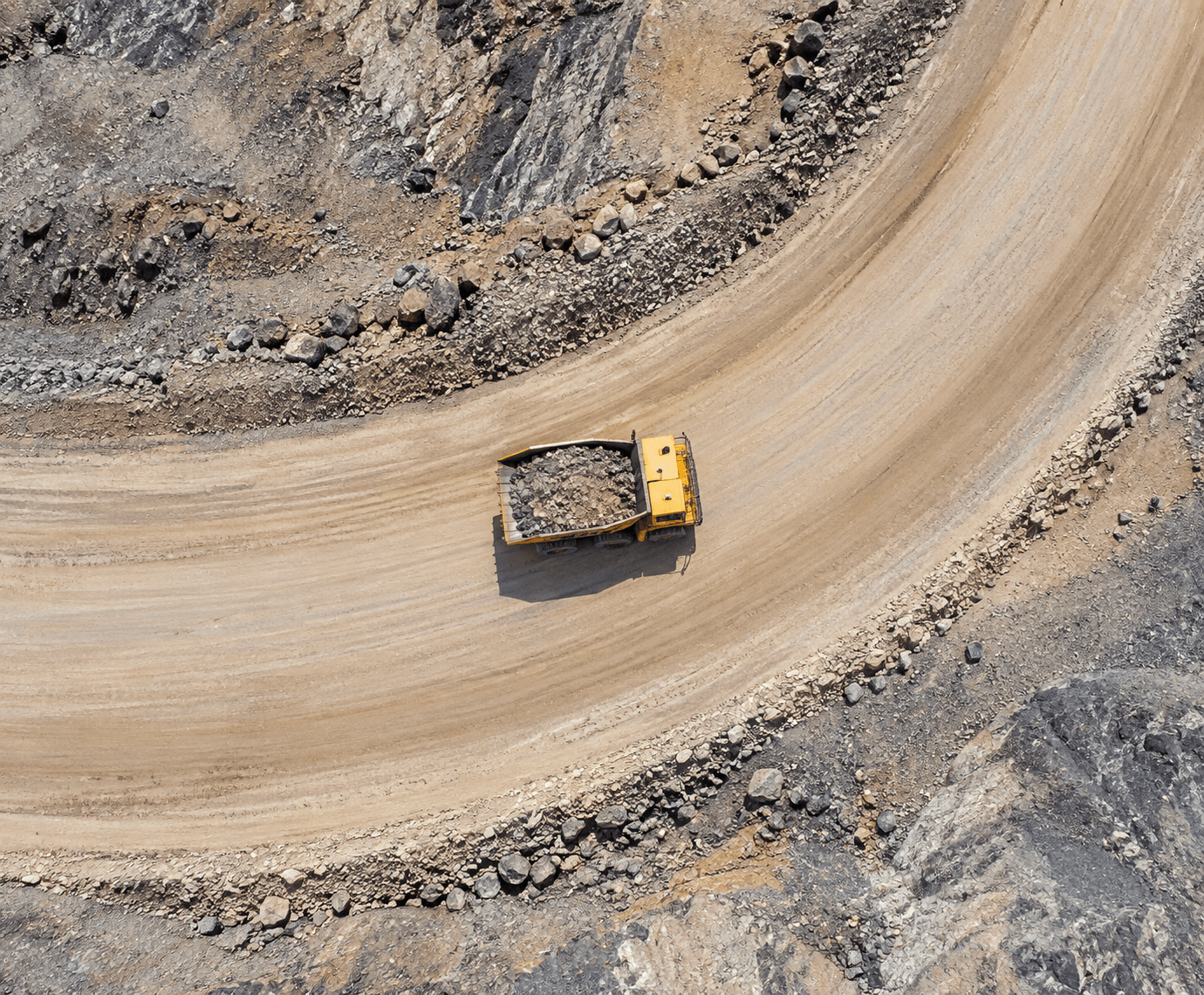
Long haul-road networks can be time-consuming to review entirely from ground-level inspection points. CARSURIN uses aerial imagery to review the defined haul-road route, document visible condition issues and provide mapped or photographic evidence for site follow-up and maintenance planning.
Request a serviceWhy It Matters

Route coverage
Review long haul-road sections from an aerial perspective.

Condition evidence
Document visible surface or route issues for follow-up.

Maintenance input
Provide location-based evidence that supports road-maintenance decisions.
FIND THE RIGHT EXPERTISE
Scope of Services
- 01Route definition
- 02Flight planning
- 03Aerial image capture
- 04Road surface review
- 05Drainage feature review
- 06Shoulder condition review
- 07Issue location mapping
- 08Finding verification
- 09Inspection reporting
Explore related industries
Related Industries
Explore industries connected to this capability and CARSURIN's related technical services.




FAQ
Aerial review can document visible road-surface, shoulder, drainage and route-condition issues within the approved survey scope.