


Overview
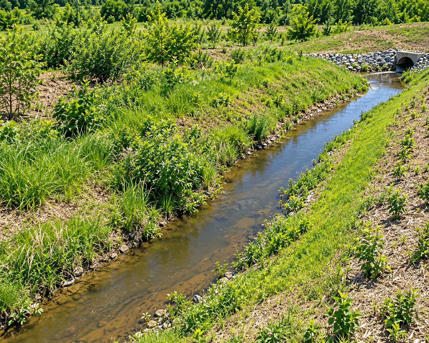
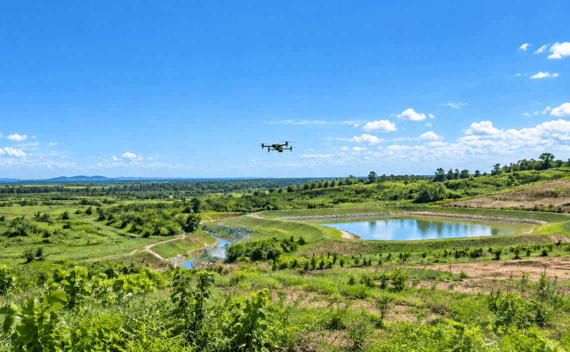
Drainage condition affects erosion, sediment movement and site-water management across disturbed land. CARSURIN captures aerial data over the defined area and maps visible drainage features together with relevant terrain context. Detailed hydraulic analysis or engineering design requires a separate specialist scope.
Request a serviceWhy It Matters

Drainage visibility
Map visible channels and drainage features across large site areas.

Terrain context
Relate drainage features to mapped surface condition and slope context.

Field targeting
Identify locations that may require ground inspection or maintenance follow-up.
FIND THE RIGHT EXPERTISE
Scope of Services
- 01Survey boundary review
- 02Flight planning
- 03Aerial data capture
- 04Terrain processing
- 05Channel identification
- 06Flow-path mapping
- 07Drainage feature review
- 08Issue location mapping
- 09Drainage map report
Explore related industries
Related Industries
Explore industries connected to this capability and CARSURIN's related technical services.



FAQ
Visible channels, ditches, flow paths and related surface features can be mapped when they are identifiable in the aerial data.